Thwaites Glacier sea-level forecast doubles in new model
The projection holds even without additional climate warming, the university said, while co-author Eric Rignot says the results point to greater coastal flooding risk.
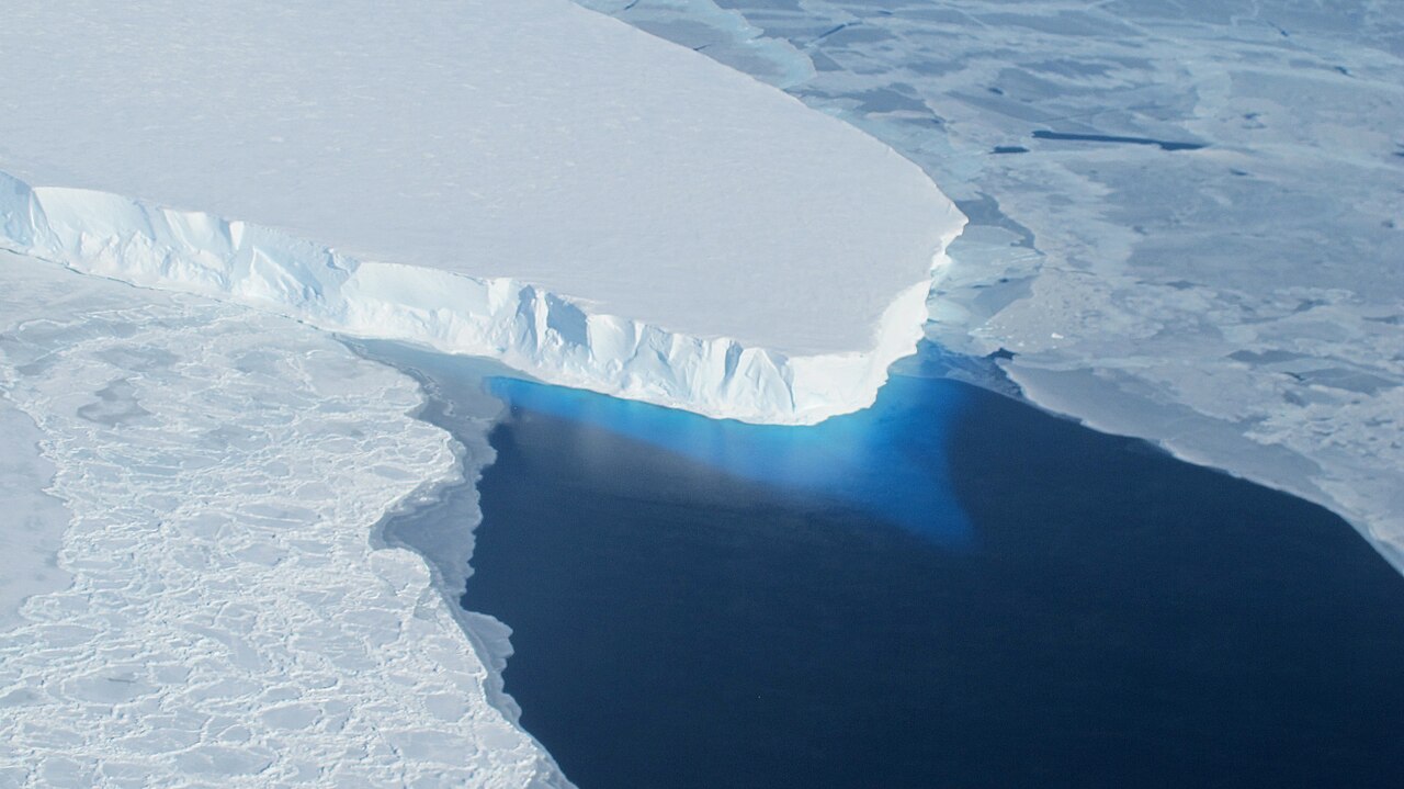
A new model projects that melting of Thwaites Glacier in West Antarctica will contribute up to 30 millimetres of sea level rise by 2100, twice previous estimates, the University of California, Irvine has said.
The model was developed by glaciologists at the university and NASA’s Jet Propulsion Laboratory. In a paper published in Nature Communications, the researchers explained that they adjusted a computer model of Thwaites to include a “grounding zone” instead of a “grounding line”.
That change let them reconstruct glacier change from the 1990s to the present that is four times more pronounced than traditional models.
Mattia Poinelli, the lead author, was a postdoctoral scholar in Earth system science at UC Irvine when the study was conducted. “Glaciologists have long based their assumptions of ice sheet dynamics on the ‘grounding line,’ a discrete, narrow and mostly stable demarcation where ice leaves the land and begins floating on water,” Poinelli said.
“We have come to acknowledge a different arrangement beneath Earth’s major ocean-terminating glaciers. Satellite observations demonstrate the existence of a ‘grounding zone,’ sometimes kilometers wide, where warm ocean water is reaching deep underneath the ice sheets and causing vigorous melting.”
What the satellites show
Thwaites is in the Amundsen Sea Embayment sector of West Antarctica, which accounts for roughly one-third of the mass loss from the Antarctic Ice Sheet. The glacier has retreated and thinned rapidly in recent decades, but scientists have struggled to reconcile ice sheet models that show slower movement with satellite observations that show substantial ice flow acceleration.
The team calibrated its models against observations spanning more than 20 years. Radar readings from the Finnish ICEYE satellite constellation let the researchers detect kilometre-scale fluctuations in the grounding zone along the main trunk of Thwaites, and the data indicate that seawater penetrates several kilometres beneath grounded ice and lifts it during tidal cycles.
A ridge that holds Thwaites for now
According to Poinelli, grounding zone processes are causing accelerated detachment of Thwaites from stabilising ridges, leading to more rapid ice flow. “The Thwaites main trunk is being temporarily stabilized by the Mouginot Ridge,” Poinelli said. “Once that ridge is unpinned, the glacier will continually retreat across a predominantly retrograde seafloor toward its next topographic high, the South Ridge.”
Poinelli said the simulations factor in a grounding zone of 4–6 kilometres. They predict a 60% probability of unpinning the Mouginot Ridge by the end of the century. The university’s release did not give an uncertainty range for the 30 millimetre figure.
“Most projections to date have struggled to match the rapidity of the mass loss because of missing physics; our new model with more complete physics is able to match the record and then produces projections that are twice as large as before,” said Eric Rignot, a co-author and professor of Earth system science at UC Irvine.
“These results predict greater risk of and exposure to coastal flooding than anticipated in the coming decades.”