Jet stream: the winds that shape UK weather
NOAA says jet streams can reach speeds of more than 275 mph, and the Met Office says one can act like a vacuum cleaner on an area of low pressure.
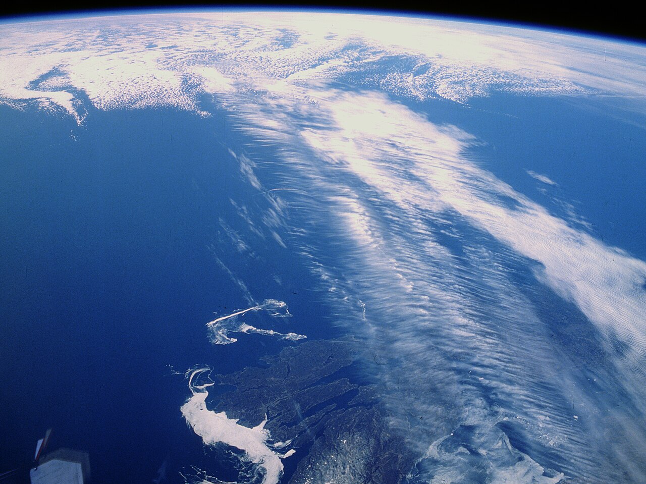
The jet stream is a core of strong winds around 5 to 7 miles above the Earth’s surface, blowing from west to east, the Met Office says.
It exists largely because of a difference in heat. In the northern hemisphere, the Met Office says, cold air lies on the northern side of the jet stream and warm air to the south. NOAA says jet streams follow the boundaries between hot and cold air, that the rotation of the Earth plays a part too, and that the winds can reach speeds of more than 275 mph.
Why winter brings wetter weather
In winter there is a bigger temperature difference between the equator and the poles, so the Met Office says the jet stream is stronger and flows over the UK. That is why wetter weather tends to follow. In summer the difference is smaller, and the jet stream typically ends up to the north of the UK, with calmer, drier weather. NOAA says jet streams are strongest during the winters of both hemispheres.
The jet stream also changes the weather below it by altering wind and pressure at its own level, which the Met Office says helps shape the weather we see. It can act “like a vacuum cleaner”, drawing air out of the top of an area of low pressure, which lowers the pressure further. Generally, the lower the pressure, the stronger the wind and the stormier the result.
Its path matters as well. Sometimes the jet stream runs straight and smooth, like a fast-moving river. At other times it buckles and loops, like a river’s meander, and the Met Office says that slows things up and makes areas of low pressure move less predictably. A slower, more buckled jet stream can let areas of higher pressure take charge, which typically brings light winds and dry skies.
Flights and a term that does not exist
The jet stream moves around at a similar level to transatlantic aircraft. Flying along its flow is quicker and saves fuel, the Met Office says, while flying against it is expensive on fuel and makes a flight late. The stream can also get bumpy where the wind changes speed or where it is not straight, which churns up the air and causes turbulence.
In a blog post dated 28 May 2025, the Met Office’s Chief Meteorologist Matthew Lehnert addressed talk in the media of a “Caribbean jet stream” behind warm weather at the time. “A ‘Caribbean jet stream’ is not a meteorological term”, Lehnert said.